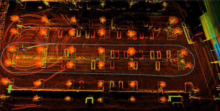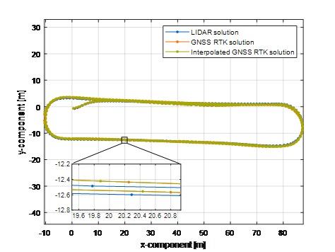

Highly Accurate Positioning

AI Inside

RTK-PPP
Handover
HAS + OSNMA
Technology

Web-App

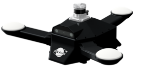
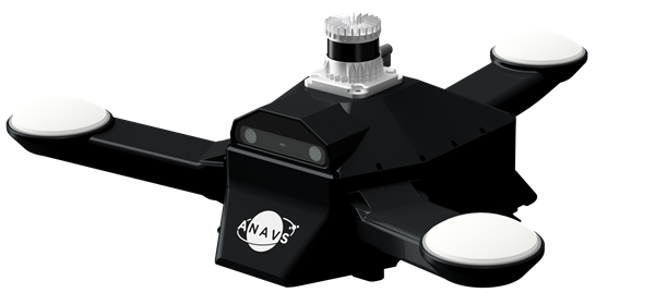
Easy System
Integration

ROS 2

ACOM Data Stream
Minimal Warm-up time

Made in Germany