Applications
Optimized Positioning System for your Application with the most-suitable set of positioning sensors.
ANavS® offers a broad range of positioning sensors including GNSS, INS, wheel odometry, UWB-based Local Positioning System (LPS)/ Real-Time Locating System (RTLS), camera and/ or LiDAR based SLAM.

Automotive
The ANavS® tightly coupled sensor fusion provides precise, reliable and high-rate absolute position information even for highest dynamics. This also includes areas with limited satellite visibility or missing road markings.
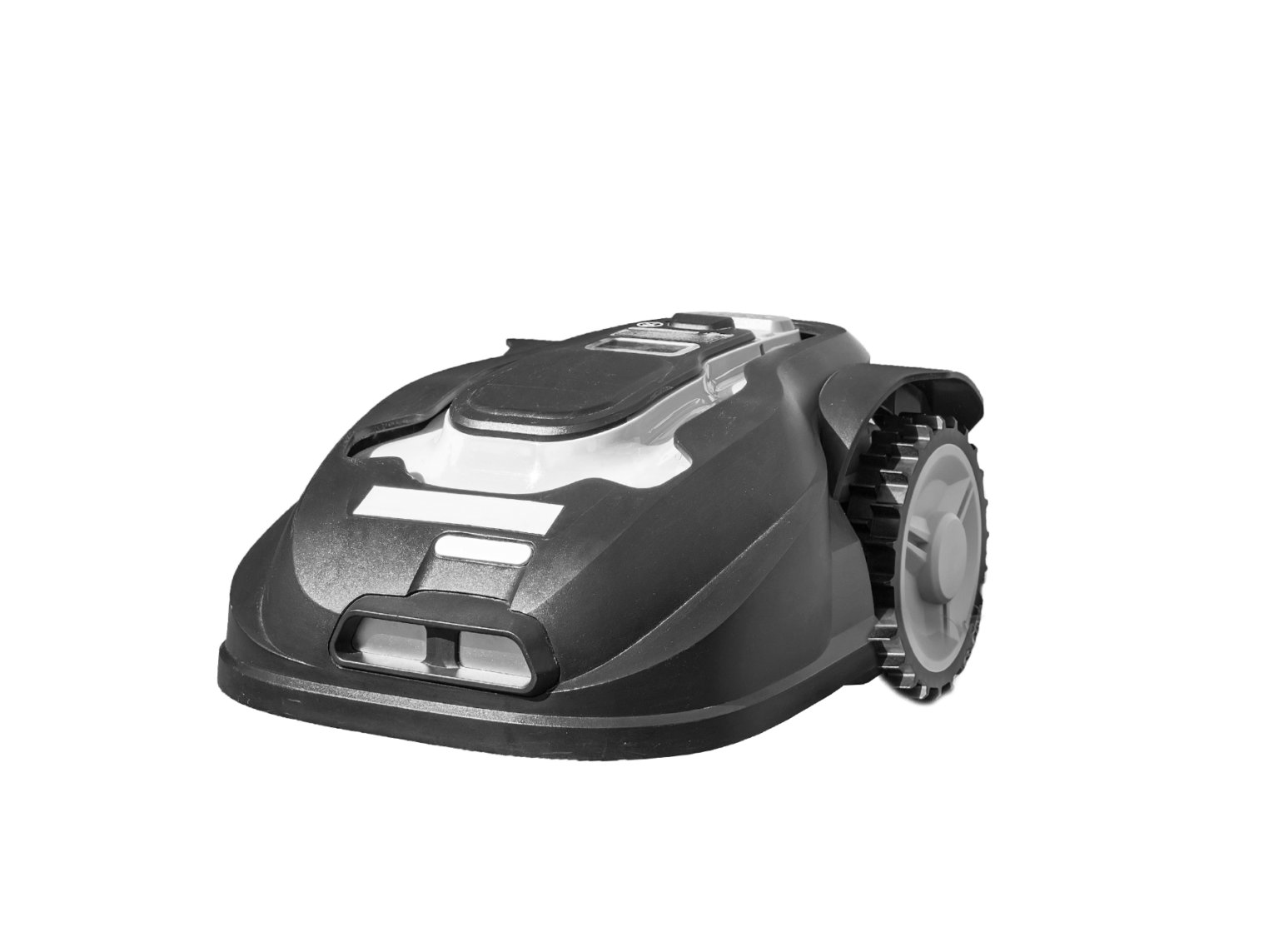
Robotic
The ANavS® positioning system enables precise localization and navigation of autonomous robots with cost-efficient hardware.
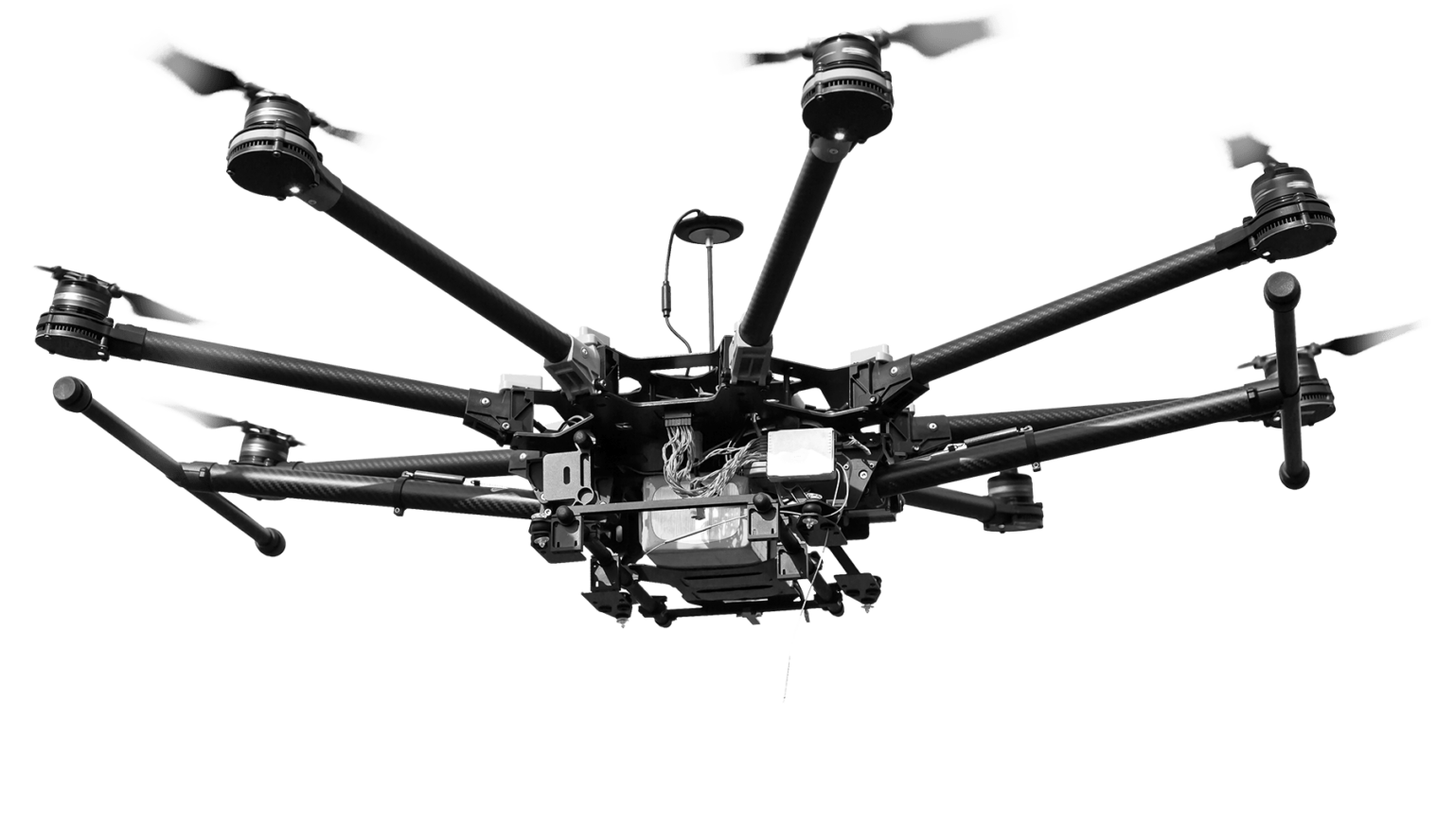
UAV
Improve your UAV with our patented position and attitude solution! Use the ANavS A-ROX RTK for aerial surveying and mapping, for aerial surveillance and security, for aerial inspection of infrastructure or for aerial delivery.

Maritime

Railway
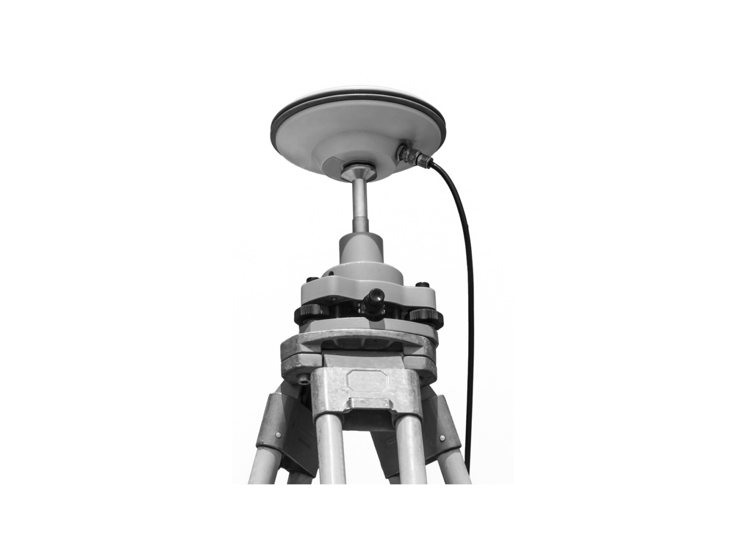
Surveying and Snow monitoring
Get precise information on snow height, snow water equivalent or landslides! Fully autonomous monitoring system with solar power and Iridium-based satellite communication for remote areas.
Precise Positioning System (PPP)
Customized Engineering for Hard- and Software-Framework
AI-based Services
Quick overview
Products
Equipped for every situation with the need of high-precise positioning & navigation:V-ROX, A-ROX, G-ROX, MSRTK, Snow Monitoring and M.2 SMART Card.
R&D Projects
Our R&D team is constantly working on researching, developing and implementing new technologies to master the challenges of tomorrow.
Publications
Our publications are varied, provide well-founded findings and present innovative solutions: Journal and Conference papers, Patents and Theses